Custom application development
Add-on Apps
ADD-ON APPS
Astreon offers multiple solutions including scheduled transportation management, delivery monitoring service, maintenance management, driver behavior monitoring, transit agriculture, and much more.


Agri+
Agri+ is here to assist with all your agricultural monitoring needs. Agri+ monitors field cultivations, calculates their area, fuel consumption, and many other parameters.
Users can create fields, fill in crops and operations, edit and accept cultivations before adding them to the registrar. Geofences may be imported from Astreon as fields.


Maintenance+
This advanced tool provides Management and Maintenance teams with a powerful dashboard to plan, control, and manage the costs of vehicle maintenance. Maintenance+ helps cut operating costs, avoid critical breakdowns, and minimize time spent at service stations. It is designed to control all types of jobs, services, and expenditures for parts, labour, vehicles, and even cost per mile.


Transit+
Transit+ is a public transport management system that comprises the core functionality of satellite tracking software and specialized tools designed for route management. Use the service to create stops, optimize routes, distribute vehicles across routes, manage schedules, and track route performance in real-time.


Driver Safety+
A great companion tool for Safety+. Driver Safety+ adds a useful dashboard that focuses on driver behaviour utilizing harsh braking, cornering, and acceleration events summarized by our analytics engine. Providing you with full control over parameters, vehicle profiles, and use case-specific data, this tool truly does help your business.


Dashboard
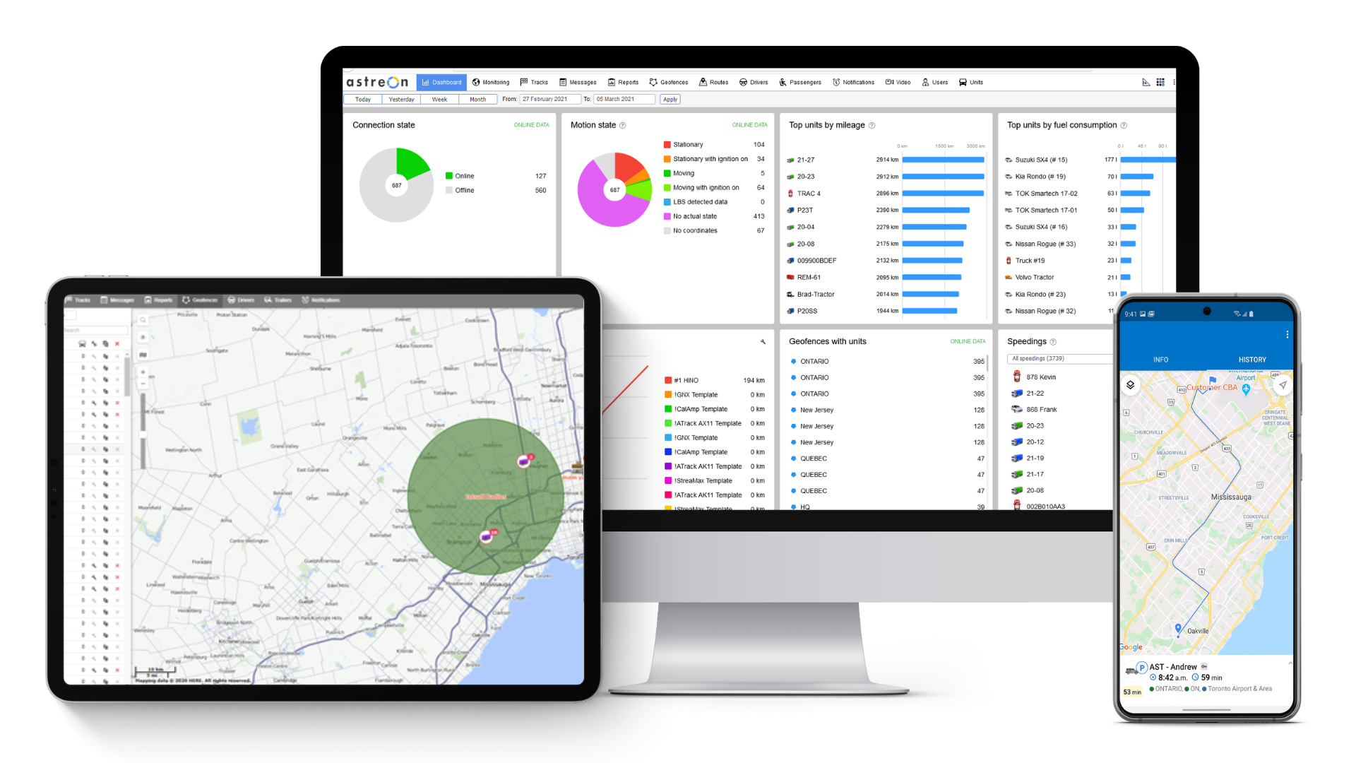
The dashboard provides at-a-glance views of KPIs (key performance indicators) relevant to a particular objective or business process. In our case, Dashboard is an effective app, providing an overview of fleet KPIs in an easy-to-read real-time user interface to enable instantaneous and informed decisions to be made immediately. KPIs include Mileage, Fuel consumption, Engine hours, Average and Maximum speed, Idling, Time in trips, and visited Geofences.


Sensor+
With Sensor+ you can visualize any number of sensors in real-time to react quickly to any situation. It is a handy tool to monitor counters & sensor values from both stationary and movable assets.


Dispatch+
Automate your dispatch by importing jobs or use our API to integrate with your application. Field workers use the app to route to destinations, complete a task, capture signatures, call clients, and even attach images. Reporting and Management tools are all included in this.


Track Player
Seeing once is better than hearing twice. Track Player is designed to visualize the movements of one or several vehicles of your fleet. The app allows you to follow units on the map online or switch to vehicle track analysis. View the events on the timeline and on the map, and view pictures from tracking devices to get a comprehensive picture of unit movements.


Safety+
Safety+ takes our standard driver behaviour monitoring to the next level with an effective and powerful dashboard. Safety+ enables you to establish a baseline score across all drivers in your fleet based on their driving habits.


Actualizer
Managing your Fleet can be difficult. No one has the time to monitor inactive vehicles or search for devices that may be non-functioning, out of date, etc. This easy-to-use tool does all that for you with simple, easy notifications and action items saving you unnecessary downtime.


Backup & View
Your data is best when it’s secured and in your own hands. Eliminate unnecessary support calls and time with this easy-to-use value-added application. Back up your full historical data and view it anytime with Backup & View. Leverage this tool to see tracks and the full history on a map.


Maps
A proprietary GIS service offers a high-quality address database providing more accessible search of locations and better route building tools. Search waypoints by name or by using coordinates, navigate a fully-featured map, view addresses, and coordinate by double-clicking on the map and save route information in KML format.
Reach Us
For more detailed information we encourage you to engage with us directly. To learn more about our applications and services, get a trial version or request a price quote, please contact us by filling out the form provided below. Our experts will get back to you within one business day.


